Devon · PL19
Missing dog search in Tavistock
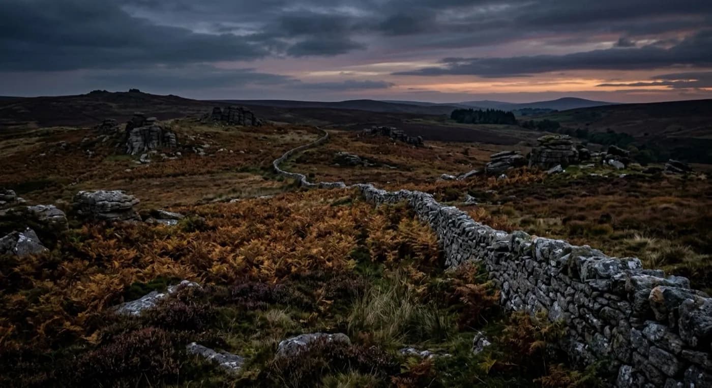
A drone search out of Tavistock, where wooded Tamar valley falls away west and open Dartmoor rises immediately east, two different kinds of ground either side of town.
Two searches in one town
Tavistock sits right on the join between Dartmoor and the Tamar valley, and which direction a dog has gone changes the whole shape of the search. East, the ground rises fast onto open moor, the kind of terrain a drone covers in minutes that would take a search line the best part of an afternoon. West, the Tamar valley falls away through wooded, steep-sided ground towards Cornwall, and that is a slower, closer job, working the tree line and the field edges rather than sweeping open country.
Knowing which side a dog is more likely to have gone matters before the aircraft leaves the ground, because it decides whether the camera is scanning wide open moor or picking through broken, part-wooded valley sides where a dog can sit still under cover and be notably hard to see from above.
Old mine workings and rough ground
The Cornwall and West Devon Mining World Heritage Site runs through this landscape, and old mining ground, spoil heaps, overgrown workings and the rough scrub that has grown up around them, gives a frightened dog a lot of places to hole up close to town without going far. It is also ground that is especially awkward and sometimes unsafe for a person to search closely on foot, which is exactly where a drone earns its keep, covering the shape of the ground from above before anyone commits to walking into it.
The River Tavy runs through the middle of this and, like most rivers in this network, is one of the first lines a search checks, because a dog moving away from a busy area tends to follow water rather than cross open ground at random.
Wind off two different valleys
Tavistock is a noticeably wet town, with Dartmoor to the east and the prevailing south-westerly bringing rain straight up the Tamar from the other direction. That double exposure means conditions can be flyable on one side of town and marginal on the other at the same time, and the call on whether and where to fly gets made on the actual conditions on the day rather than a general forecast for the postcode.
Terraced streets close to home, before the moor
Tavistock's Victorian planned centre, built in green Hurdwick stone on mining wealth, sits close against terraced miners' cottages in the surrounding villages, each with a small yard or garden backing onto a lane or another row of cottages. A dog loose from one of these tends to be checked door to door and yard to yard before the search commits to the open moor above the town, because that close-in ground is quick to rule out and often explains a short-distance disappearance on its own.
If the dog has not turned up close to home, the search widens along the routes that actually connect Tavistock to the rest of this coverage area: north towards Okehampton and the high moor, south towards Ivybridge along the moor edge, south-west towards Plymouth down the Tavy valley, or west towards Launceston into Cornwall. Knowing which of those four the dog is more likely to have taken, based on where it was last seen and which way it was facing, is worth working out on the phone before the aircraft commits to one of them.
Behind the search
What a Tavistock search is actually buying
CAA registered
Operator ID and Flyer ID held, plus the A2 Certificate of Competency, which is what allows closer, faster operation near buildings, hedges and people than the basic category allows.
Radiometric thermal
A DJI Mavic 2 Enterprise Advanced carrying a 640 by 512 thermal camera. This is the aircraft that goes up first at dawn, dusk and after dark, when a warm body shows against cooling ground.
100 megapixel daylight camera
A DJI Mavic 4 Pro with a Hasselblad camera and 6K video, for wide daylight coverage of open ground at a resolution that holds up when a distant shape needs checking properly.
Insured with Coverdrone
Full commercial cover for the operation. The certificate is available on request, without anyone having to chase for it.
Nearby
Also covered around Tavistock
- OkehamptonA drone search out of Okehampton, where the streets stop and open Dartmoor starts within a few hundred metres, up towards Yes Tor and High Willhays.
- PlymouthA drone search out of Plymouth, a hilly naval city where the open green of the Hoe sits close against steep streets that fall straight to the water on more than one side.
- IvybridgeA drone search out of Ivybridge, where housing estates back directly onto the open southern edge of Dartmoor, so a dog can be on the moor within minutes of bolting from a garden.
See how a search works
Fixed price, call now in Tavistock
Ring with the last known location and roughly when. Sam Hembury will come back with next steps and, where conditions allow, be in the air the same day.