Devon · EX17
Missing dog search in Crediton
A drone search out of Crediton, surrounded by some of the most productive farmland in Devon, big hedged fields and working farms in every direction from the Creedy valley.
Big fields, working farms, real ground to cover
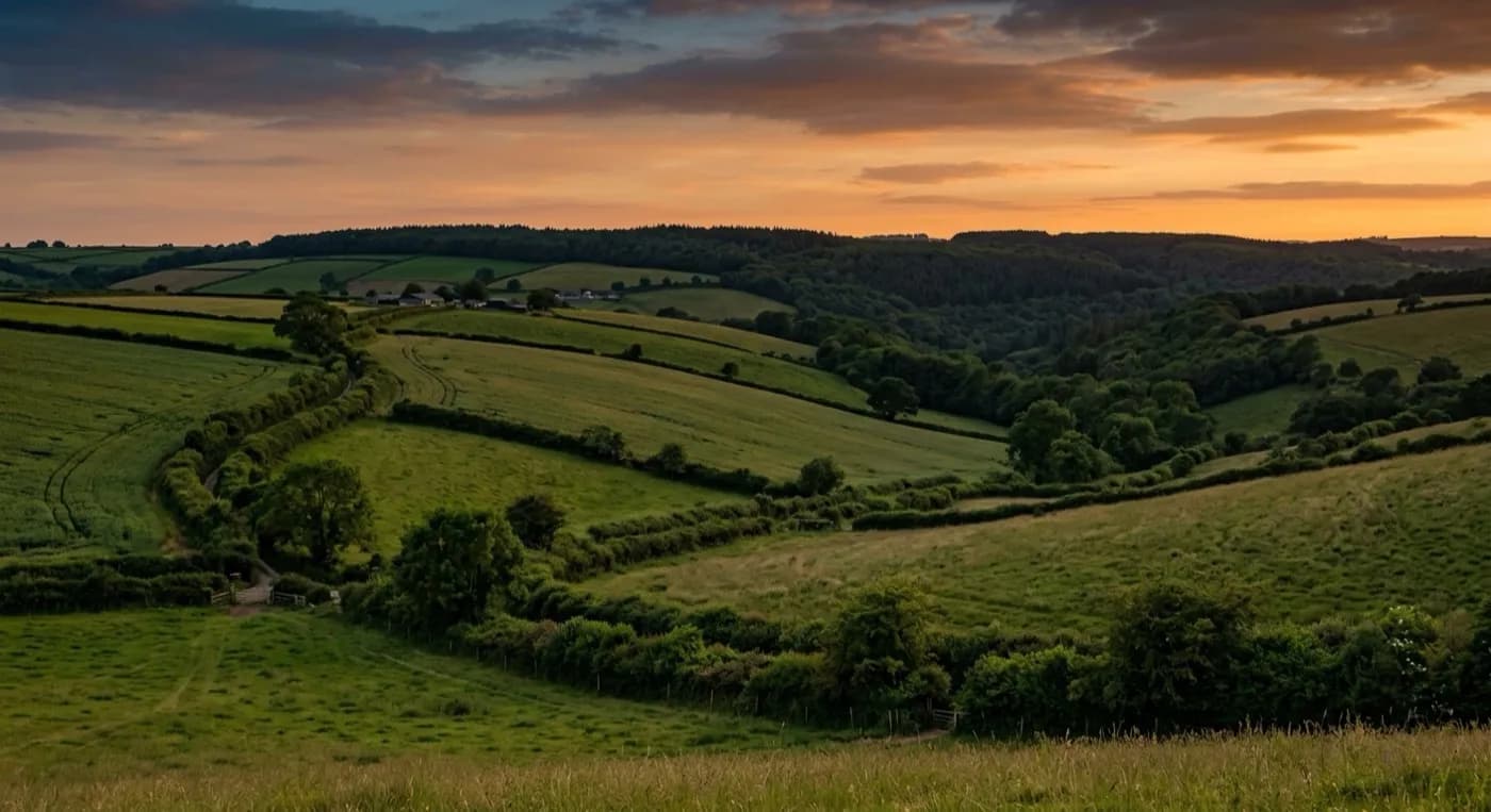
Crediton sits in the Creedy valley surrounded by open, productive farmland, bigger and more open than the small hedged fields typical of much of East Devon. That scale actually favours a drone search: large fields with clear boundaries and long sightlines are the fastest ground there is to cover from the air, and a search pattern here can often clear several fields in the time a person on foot would take to walk one properly.
Because this is noticeably working agricultural land, with farmhouses, barn conversions and livestock spread right across the rural hinterland, landowner permission and an awareness of livestock nearby are sorted early on the phone, before the aircraft goes up, because a loose dog around grazing stock is its own separate concern worth flagging straight away.
Steep sandstone hills either side
The valley itself is flanked by steep red sandstone hills, and a dog that has headed up one of those slopes rather than along the flatter valley floor changes the shape of the search, working a hillside rather than open flat ground. Both are covered the same methodical way, starting close to the last known location and working outward.
Open to the west, little shelter
Crediton is open to Atlantic weather from the west with comparatively little to break it, and the valley traps damp air readily, which again tends to help thermal contrast once conditions are actually flyable, particularly in the cooler hours either side of dawn.
A long high street with farmland at the end of the garden
Crediton's long Georgian and Victorian high street is backed by cob and thatch cottages in narrow lanes, and beyond them, farmhouses and barn conversions spread right across the rural hinterland surrounding the town. A dog missing from one of the high street lanes can be at the edge of open farmland within a few minutes, in much the same way as the older lanes in several of the market towns on this list, so the close-in lanes and the first ring of farmland get treated as one continuous search rather than two separate ones.
The modern estates on the valley sides are a more conventional, enclosed layout, and a dog loose from one of those is checked street by street first. From Crediton, Exeter, Tiverton, Okehampton and Barnstaple are all a short flight away and worth considering if the search needs to widen beyond the immediate valley.
Holy Cross Church and Crediton High Street sit at the centre of the search area for anything lost in town, while Downes House and the wider Creedy valley farmland mark the point where the built-up streets stop and the open, hedged fields take over, which is usually within a few minutes of any address in the town.
Behind the search
What a Crediton search is actually buying
CAA registered
Operator ID and Flyer ID held, plus the A2 Certificate of Competency, which is what allows closer, faster operation near buildings, hedges and people than the basic category allows.
Radiometric thermal
A DJI Mavic 2 Enterprise Advanced carrying a 640 by 512 thermal camera. This is the aircraft that goes up first at dawn, dusk and after dark, when a warm body shows against cooling ground.
100 megapixel daylight camera
A DJI Mavic 4 Pro with a Hasselblad camera and 6K video, for wide daylight coverage of open ground at a resolution that holds up when a distant shape needs checking properly.
Insured with Coverdrone
Full commercial cover for the operation. The certificate is available on request, without anyone having to chase for it.
Nearby
Also covered around Crediton
- ExeterA drone search out of Exeter, a city where a missing dog is more likely to have bolted into a park, along the river or onto an industrial estate edge than out into open countryside.
- TivertonA drone search out of Tiverton, where steep streets fall to the meeting of the Exe and Lowman, and the Grand Western Canal towpath gives a dog an obvious, easy route out of town.
- OkehamptonA drone search out of Okehampton, where the streets stop and open Dartmoor starts within a few hundred metres, up towards Yes Tor and High Willhays.
- BarnstapleA drone search out of Barnstaple, North Devon's main town, where the Tarka Trail and steep wooded slopes towards Exmoor mean the countryside starts almost as soon as the streets end.
See how a search works
Fixed price, call now in Crediton
Ring with the last known location and roughly when. Sam Hembury will come back with next steps and, where conditions allow, be in the air the same day.