Devon · EX14
Missing dog search in Honiton
A drone search out of Honiton, a long town squeezed along the Otter valley with the Blackdown Hills rising steeply behind it, where fog can decide when a search flies.
A long, thin town against a steep hillside
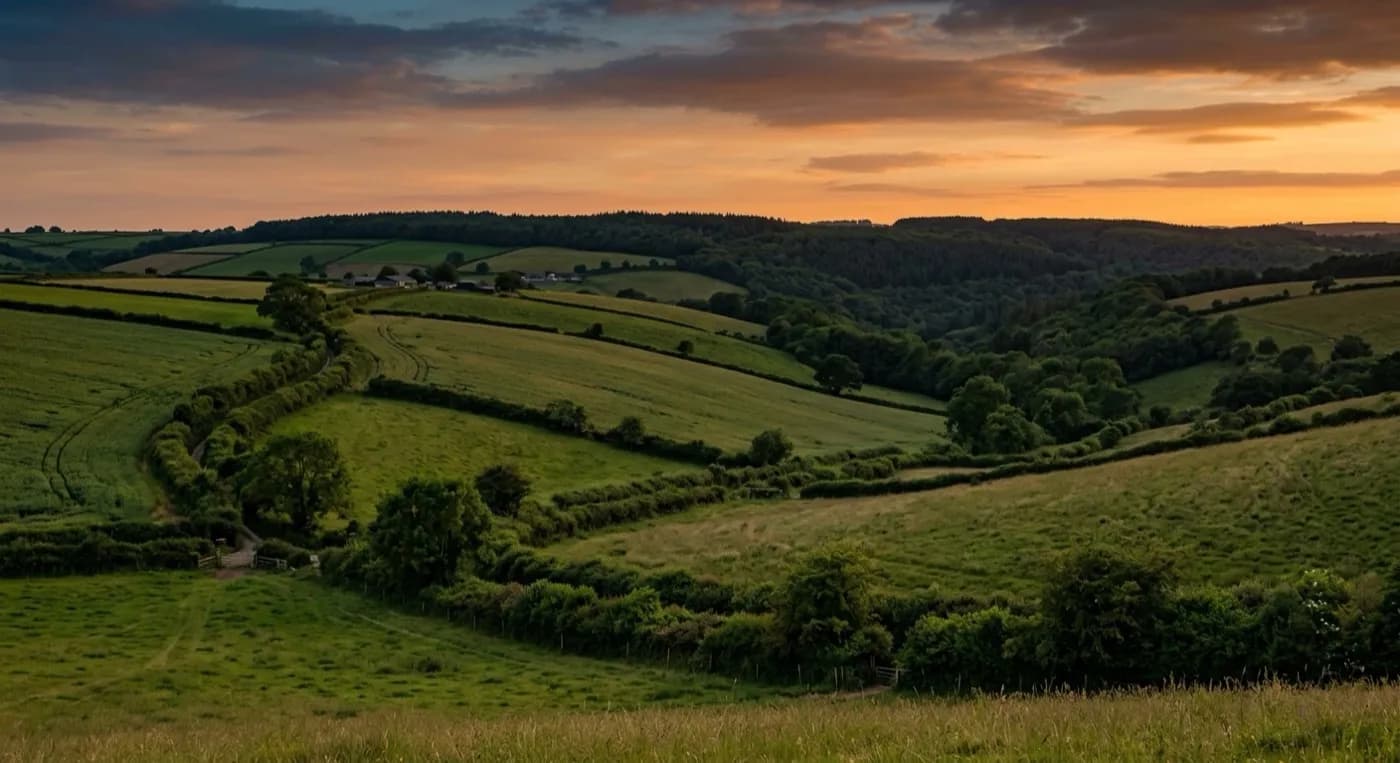
Honiton runs along the old coaching road in a long, narrow line, with the Blackdown Hills climbing steeply immediately to the north and east. That shape matters for a search: the town itself is a thin strip, so a dog does not have to go far from any point in it to reach open hillside and farmland, and the search often starts by working straight up the slope from wherever the dog was last seen rather than sweeping the town in a wide circle.
Dumpdon Hill, an old hillfort above the town, and the wider Blackdown Hills AONB give a lot of rough, open high ground within easy reach, and that height means the aircraft can often cover several fields' worth of ground in the time it takes to fly a single pass.
Fog that sits in the valley
The valley here is prone to sitting fog, particularly through autumn and winter mornings, and that is worth being upfront about: fog beats a camera the same way it beats an eye, so a search timed for first light can occasionally need to wait an hour for it to lift rather than fly blind into it. Once it clears, the same damp, cool ground that held the fog usually gives excellent thermal contrast.
Waiting for weather here is not unusual and is treated as a normal part of running a search properly, not as a delay being made up.
Behind the high street
Honiton's famously uniform Georgian high street gives way quickly to gardens, allotments and then open farmland behind it, so a search that starts in the town centre is usually working open ground within a few minutes regardless of which direction the dog took.
Behind the high street, and the estates that follow the fires' rebuilding
Honiton's famously uniform Georgian high street was rebuilt after the town burned down more than once in the eighteenth century, and behind that formal frontage the older ground is a mix of yards, lanes and Victorian additions rather than open space. A dog loose from a high street address is checked through that close-in tangle first, since it offers plenty of places to duck into without going far.
The substantial post-war and modern estates to the north and west of the centre back onto open hillside and farmland far more directly, and a dog missing from one of those addresses is often already close to open ground the moment it leaves a garden. If neither the high street nor the estates turn anything up, Ottery St Mary, Axminster, Cullompton and Sidmouth are the towns worth widening towards, each written up separately on this site.
Behind the search
What a Honiton search is actually buying
CAA registered
Operator ID and Flyer ID held, plus the A2 Certificate of Competency, which is what allows closer, faster operation near buildings, hedges and people than the basic category allows.
Radiometric thermal
A DJI Mavic 2 Enterprise Advanced carrying a 640 by 512 thermal camera. This is the aircraft that goes up first at dawn, dusk and after dark, when a warm body shows against cooling ground.
100 megapixel daylight camera
A DJI Mavic 4 Pro with a Hasselblad camera and 6K video, for wide daylight coverage of open ground at a resolution that holds up when a distant shape needs checking properly.
Insured with Coverdrone
Full commercial cover for the operation. The certificate is available on request, without anyone having to chase for it.
Nearby
Also covered around Honiton
- Ottery St MaryA drone search out of Ottery St Mary, where gently rolling Otter valley farmland holds mist and damp long into the morning, ideal thermal ground once the light is right.
- AxminsterA drone search out of Axminster, a hilltop town where the ground drops away to the Axe valley on three sides, so the direction a dog has gone can be almost any way at all.
- CullomptonA drone search out of Cullompton, flat Culm valley farmland split by the M5, where the motorway itself is the first thing a search has to think about.
- SidmouthA drone search out of Sidmouth, hemmed in by Peak Hill and Salcombe Hill, both open access land, with a valley that funnels wind hard enough to decide whether a flight goes ahead.
See how a search works
Fixed price, call now in Honiton
Ring with the last known location and roughly when. Sam Hembury will come back with next steps and, where conditions allow, be in the air the same day.